- Home/
- Home Accessories/
- Wall Décor/
- Wall Art/
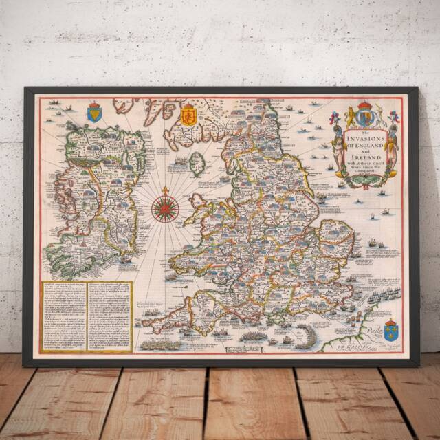
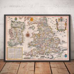
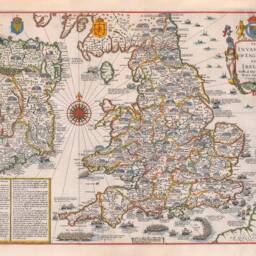
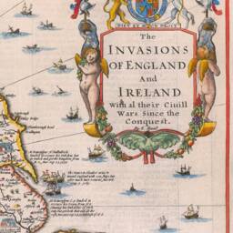
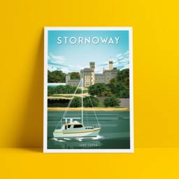
- Old England & Ireland Map, 1676 - Invasions & Civil Wars Since 1066 British Isles & Great Britain Wall Art Framed Or Unframed

Similar products


75% Off
colours | White |
|---|---|
materials | Acid Free Archival Paper |
Latest delivery information available on the retailer website here.
Latest home furnishing ideas & advice

Expressive & Soulful: Inside Ammarah Hasham’s Collected Home
uFurnish.com Founder Deirdre Mc Gettrick sat down with Ammarah Hasham – 2025 uFurnish.com Home Awards Winner to talk all things interiors inspiration and advice for those on their own interiors journey.
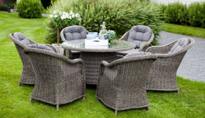
10 Best Outdoor Dining Table and Chair Sets
Discover the best outdoor dining table and chair sets for every garden size and style. From compact bistro sets for smaller patios to spacious dining sets perfect for entertaining, this guide highlights some of the top options available from leading UK retailers. Whether you’re hosting summer barbecues or enjoying relaxed outdoor meals with family, find inspiration and practical ideas to create the perfect outdoor dining space.

10 Best Outdoor Sofas
If you’re looking for the perfect place to put your feet up and relax this summer or the perfect place to host your guests then look no further than a stylish and practical outdoor sofa. With so many options it can be hard to find the perfect one that suits your style, space and budget.
New to uFurnish.com?
Did you know uFurnish.com looks inside 100+ retailers for you?
See our retailer partners...


Stay in the know with uFurnish.com
Ideas and advice straight to your inbox